Tel:
+86-0431-81785188
English
 Ocean Remote Sensing
Ocean remote sensing refers to remote sensing that takes the ocean and coastal zone as the monitoring and research object, including physical oceanography remote sensing, biological oceanography and c...
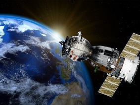 Satellite Witness: Post-Hurricane New Zealand
"Gabrielle" landed in the northernmost part of the North Island of New Zealand on the 13th, bringing large-scale floods to the region, especially the Hawke's Bay area in the east of the ...
 What Changes Are Taking Place in Satellite Remote Sensing Data Processing?
The development trend of satellite remote sensing dataSatellite remote sensing data processing is more like the "raw material rough processing" in production, and it is also the pre-sequence...
 Optical Remote Sensing
Optical remote sensing technology is a technology to obtain target and environmental information from a long distance in the ultraviolet to infrared optical bands.
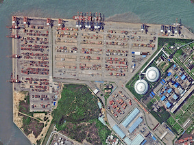 Flat & 3D: Two Perspectives for Your Enjoyment
Kingdom of Saudi ArabiaAlso known as Saudi, in Arabic, Saudi means "happiness", and "Arabia" refers to "desert", meaning "happy desert". Saudi is located on the...
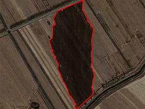 How Does Performance of Satellite Remote Sensing Systems Show?
Precision of satellite remote sensing systemPrecision refers to the accuracy of the measured value compared to the true value under certain conditions, and high precision means that both system error ...
 Our Strength
Compared to other companies, we have the following advantages:a. Based on the Jilin-1 satellite constellation, we have massive satellite data covering the world and revisit any place in the world 13 t...
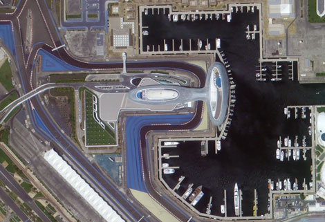 Photogrammetry Remote Sensing
Photogrammetry remote sensing is to obtain reliable information about the earth, its environment and other natural objects and processes by using satellite imaging technology and then analyze and expr...
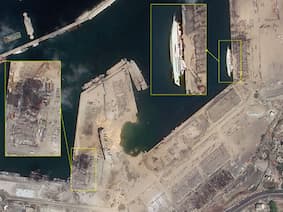 Problem Analysis on Satellite Remote Sensing Image Processing
What is satellite remote sensing image processing?Remote sensing image processing is the process of using computer image processing systems to carry out a series of operations on pixels in remote sens...
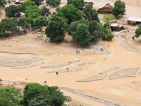 Jilin-1 Satellite Assists Flood Relief in Multiple African Countries
Since March 2023, central Africa has experienced continuous heavy rainfall and triggered floods, causing significant casualties and property damage in countries such as Kenya, Rwanda, and Somalia. In ...