Tel:
+86-0431-81785188
English
 Applications of Satellite Based Remote Sensing Technology in Earth Surveying
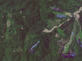
The Earth is our home, rich with essential mineral resources such as oil, coal, natural gas, iron, copper, gold, and nickel. However, due to active crustal movements, natural disasters frequently occu...
 Thermal Infrared Remote Sensing Technology: Applications and Advantages in Surveying
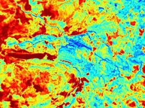
Thermal infrared remote sensing technology is a remote sensing method based on the thermal radiation of objects themselves. It acquires temperature information and other radiation characteristics of t...
 Jilin-1 Satellite: Spectacular Moments of the Guangzhou Marathon from Space
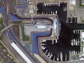
Overview of the Jilin-1 Satellite"Jilin-1" is a commercial remote sensing satellite system independently developed by China, designed by the Changchun Institute of Optics, Fine Mechanics and...
 What Is Optical Satellite Remote Sensing Data
Optical satellite remote sensing data refers to the digitized information of the Earth's surface collected through optical sensors mounted on satellites. This data is obtained by capturing the rad...