Chang Guang Satellite Technology Co., Ltd.
remoting satellite factory technical help

Technical Help

remoting satellite factory technical help
JL1 Technical Help

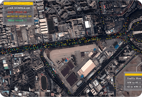
On the basis of "the integration of satellite-borne", "the integration of airborne" and other core technologies, CGSTL has set up the commercial business dealing with the development and operation of satellite and unmanned aircraft, as well as remote sensing information processing all in one.

The technical index and function mode in terms of satellite research is taking the leading position in the world. In the future, CGSTL plans to launch 60 satellites in the first stage, so as to reach the ability to revisit globally discretionary locations within 30 minutes. And 138 Satellites-formed network is planned to be realized in the second stage, thereby gaining the ability revisit to globally discretionary locations within 10 minutes.


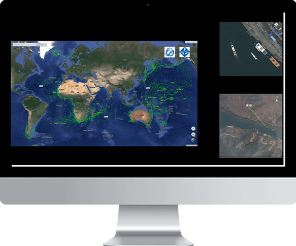
JL1 Plateform

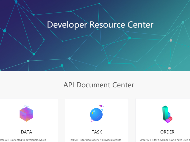
JL1 Platform is an automated imagery platform that integrated comprehensive, massive imagery data in both daily archived or task programming captured by the JL1 satellite constellation. You can access the JL1 Platform to explore more interesting satellite imagery applications via API callings, more details in http://developer.jl1.cn/.

satellite factory platform
Archived data
Archived data

The archived data service refers to providing users with archive remote sensing data query and download services. Users can query the archived data of the Jilin-1 satellite constellation at all levels through the online distribution platform or API interface calling, and then users can submit the data requirements as needed. The data will be delivered to users through the public cloud platform within the specified time.

Task programming
Task programming

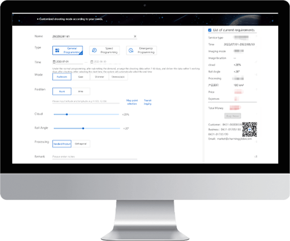
Task programming refers to providing users with photography service with the ability of the Jilin-1 satellite constellation. Users can submit future-oriented point/area shooting requirements. After responding to the requirements, Jilin No.1 Measurement and Operation Control Center plans shooting tasks and data production within a specified period. Users will receive the entity data through the public cloud platform within the specified time.

BaseMap basic data service

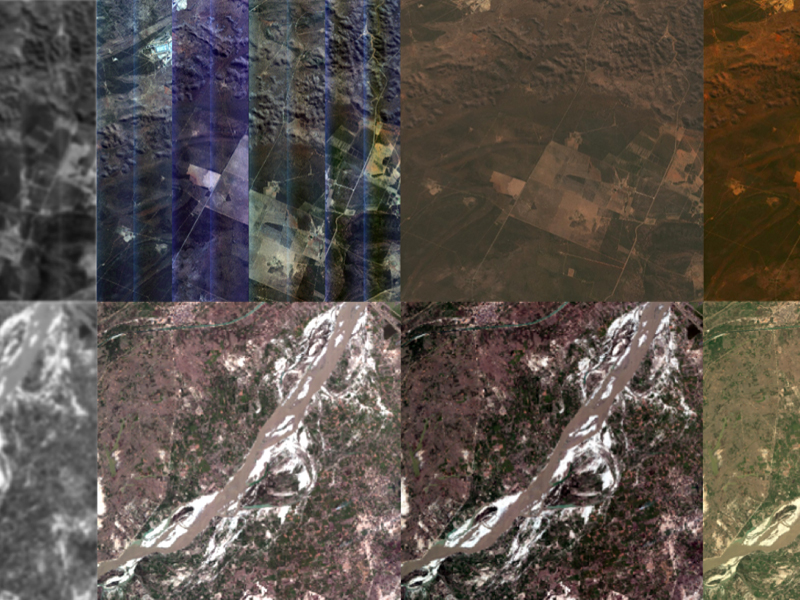
BaseMap basic data service refers to publishing the data of a specific area and a specific time range into an online map service after mosaic and slicing, which is provided to users or various business systems for direct reference. The basic data of a map is tile data with 3 spectra and 8 bits.

ARD (Analysis Ready Data) online application service

ARD online application service refers to the information of data that can be directly used for remote sensing application analysis after orthophoto and atmospheric correction on the basis of standard sensor corrected images, and provides online direct reference through API. ARD data is provided externally in the form of datasets. Users can retrieve and view data sets that can be analyzed by online applications and their data indicators, and refer to them online through a specific API. ARD data service mainly solves the needs of users for online and real-time drawing.