English
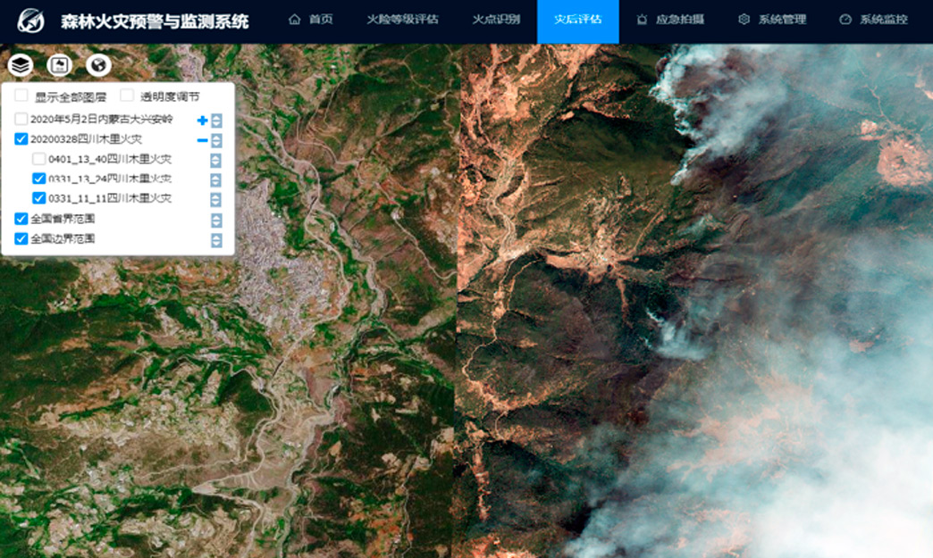
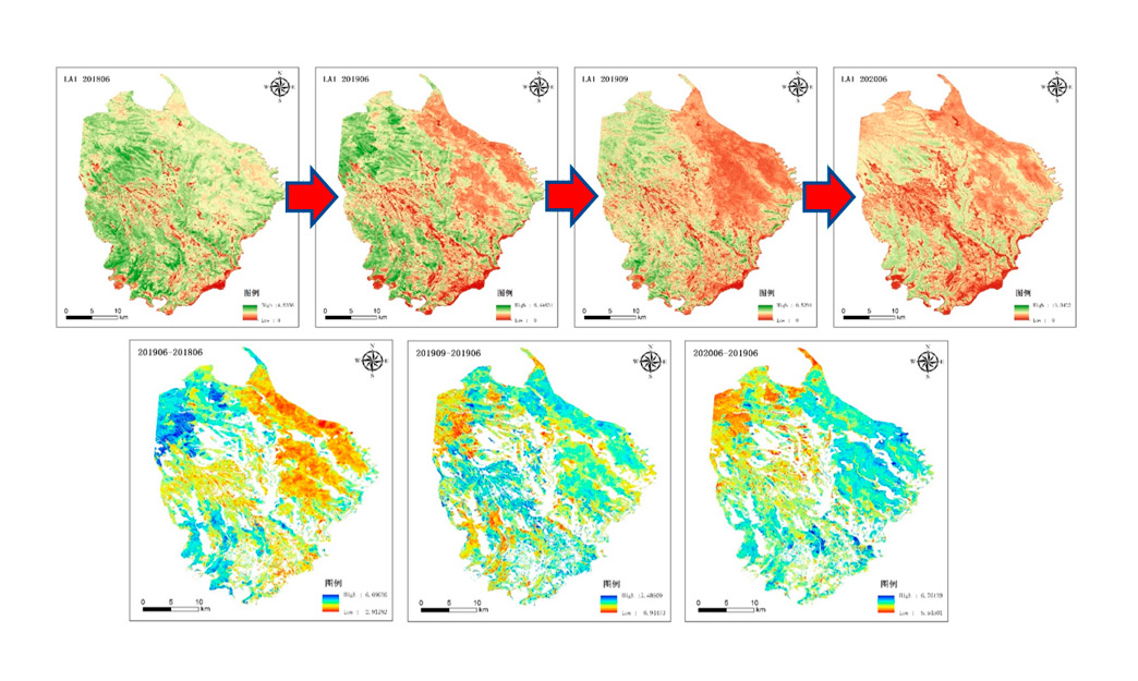
CGSTL forest fire warning and monitoring products are combined with JL1 high-resolution series satellites and spectral satellite series satellites, as well as ground infrared cameras. Through pre-disaster forest fire early warning and forest fire monitoring, continuous emergency monitoring during disasters and post disaster remote sensing ecological assessment, the services including large-scale, refined, sustainable, and all-round prevention and control of forest fires are carried out by CGSTL.

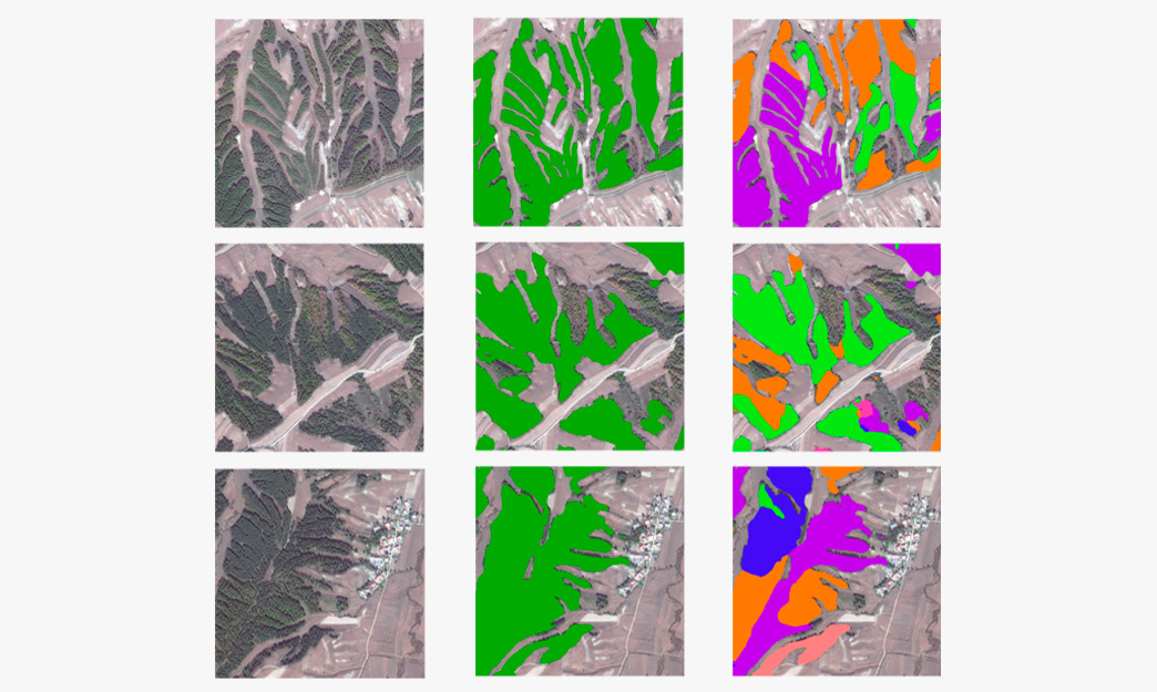
The acquisition of traditional forest types is mainly based on ground survey supplemented by visual interpretation of remote sensing images, with high cost, long cycle and heavy workload, and often the timeliness is difficult to meet the needs of practical applications. It has always been the focus, hotspot and difficulty of forestry remote sensing to extract forest type information quickly and accurately through remote sensing images.

Pinewood nematodes is the major disease endangering the health of pine trees and it is spreading worldwide. On the basis of quantitative analysis, the deep learning object detection technology is applied to detect the diagonal box of dead and discolored standing trees, greatly improving the interpretation efficiency and accuracy.
