English
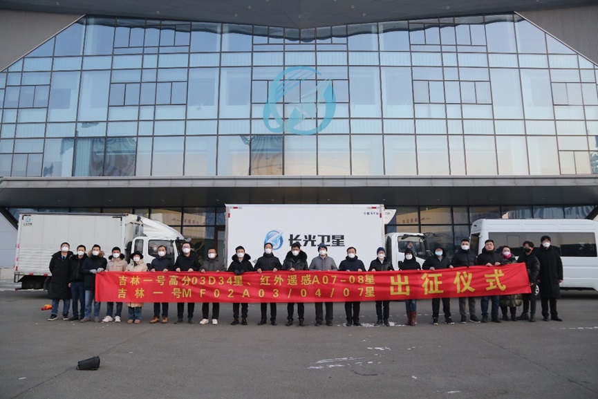
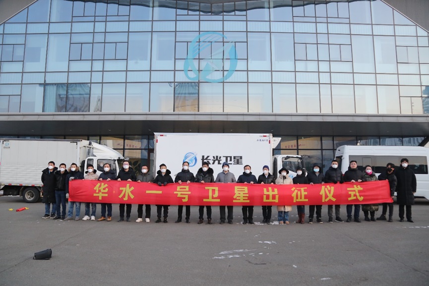
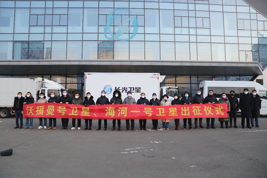
Chang Guang Satellite Technology Co., Ltd. held the launching ceremony of 6 satellites including "Huashui-1" satellite, "Wofman" satellite, "Haihe-1" satellite, JL1 GF03D34 satellite, and JL1 MF02A03~04 on December 27, 2022, and its leaders, employee representatives and cooperative units participated in the event.


"Wofman" satellite and "Haihe-1" satellite (JL1 HWA07~08 satellites) are new observation small satellites jointly developed by Chang Guang Satellite Technology Co., Ltd. and Tianjin Yunyao Aerospace Technology Co., Ltd. Based on the development of the "Tianjin University No. 1" satellite, this series of satellites has been mass-produced and adaptively designed, whose payload is a long-wave infrared camera, which can perform infrared imaging on the atmosphere, ocean and land. It is characterized by short development cycle, high integration, light weight, small size and high cost performance.

The JL1 satellite GF03D34 is a light and small high-resolution optical remote sensing satellite independently developed by Chang Guang Satellite Technology Co., Ltd., which is an important achievement of the company's implementation of the concept of mass production. The satellite adopts the concept of integrated design of the load platform, which has the characteristics of low cost, low power consumption, low weight and high index. JL1 MF02A03~04 are based on a flexible satellite platform independently developed by Chang Guang Satellite Technology Co., Ltd, which can perform flexible stand-alone conversion according to the integration requirements of different loads, and has the characteristics of high integration, strong load capacity, light weight and low cost.
The 6 satellites for this expedition will be launched at the China Taiyuan Satellite Launch Center in the near future. After the successful launch, they can provide rich remote sensing data and product service.