Tel:
+86-0431-81785188
English
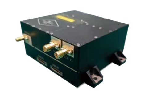 Satellite Standalone Product
Each standalone product has independent and complete functions, and its application scenarios are not limited to satellite manufacturing
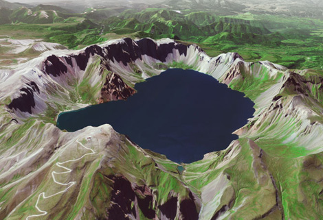 Stereo Data
The data of SP or GF satellites of JL1 constellection can be used as stereoscopic mapping to produce DSM results with resolution better than 1m.
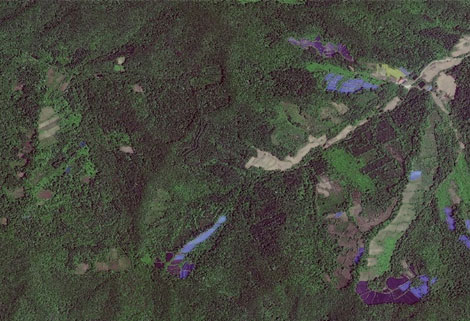 Satellite Remote Sensing In Greenbelt
Greenbelt remote sensing is a technology that is used to detect and analyze the type distribution and biomass of grassland resources.
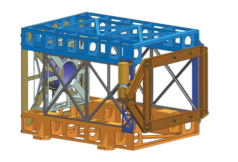 Satellite Components Product
It is used for mechanical connection between each single machine and satellite
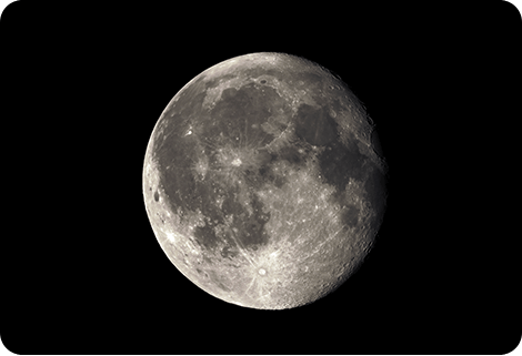 Inertial Space Data
JL1 satellites can not only capture the images of the earth, but they can also turn the cameras to photograph space objects, such as the space station, the moon and other objects near the earth.
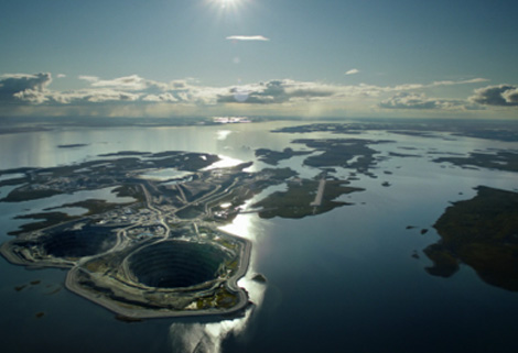 Satellite Remote Sensing In Insurance
Combining satellite remote sensing technologies with rights confirmation data and land parcel segmentation technology can vectorize and spatialize the subject matter of insurance, then establish a spa...
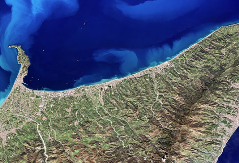 Multispectral Remote Sensing
Multispectral remote sensing refers to the remote sensing technology that divides the electromagnetic wave radiated by ground objects into several narrow spectral bands and obtains the information of ...
 Ocean Remote Sensing
Ocean remote sensing refers to remote sensing that takes the ocean and coastal zone as the monitoring and research object, including physical oceanography remote sensing, biological oceanography and c...
 Optical Remote Sensing
Optical remote sensing technology is a technology to obtain target and environmental information from a long distance in the ultraviolet to infrared optical bands.
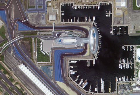 Photogrammetry Remote Sensing
Photogrammetry remote sensing is to obtain reliable information about the earth, its environment and other natural objects and processes by using satellite imaging technology and then analyze and expr...
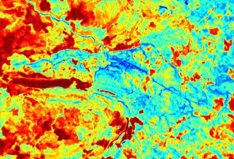 Thermal Remote Sensing
Thermal remote sensing refers to remote sensing in which the working band of the sensor is limited to the infrared band. The detection band is generally between 0.76-1000 μM
 Customized Satellite Remote Sensing
Beside the above remote sensing technology, other unlisted satellite remote sensing can be discovered by CGSTL and please contact us to describe your demand.