Tel:
+86-0431-81785188
English
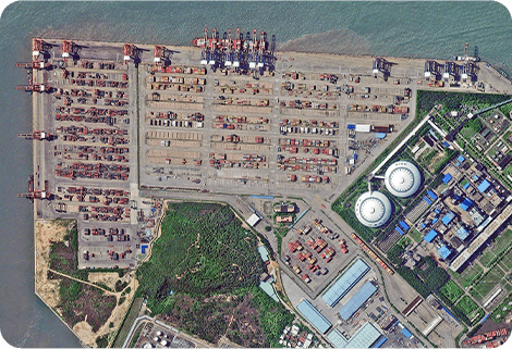 Push Broom Scanning
The massive imagery archieved data and task programming data that cover all over the world captured by JL1 constellation. Great view and great details can be dicovered in our push broom scanning produ...
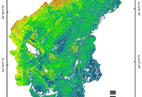 Satellite Remote Sensing In Agriculture
Agricultural remote sensing refers to the comprehensive technology of agricultural applications such as using remote sensing technology to investigate agricultural resources, analyzing land using stat...
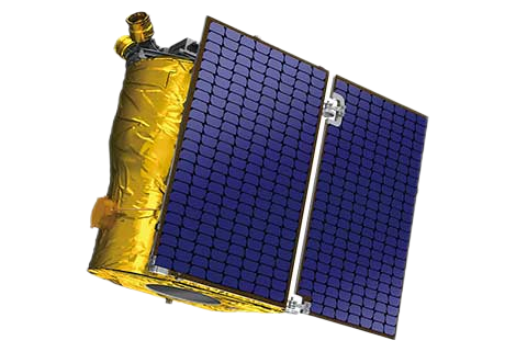 Satellite Products
Jilin-1 satellite constellation is the core project of CGSTL. It is composed of 138 high-performance optical remote sensing satellites covering high resolution, large width, video, and multi-spectrum....
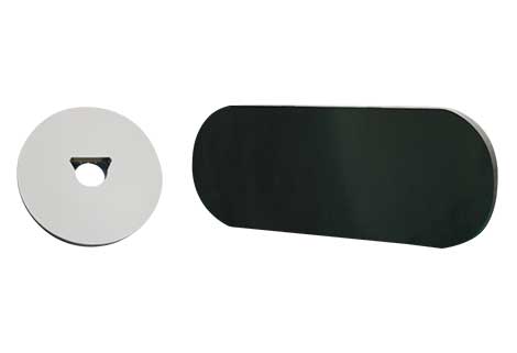 Satellite Optical Manufacture
We have advanced capability of developing, manufacturing and testing optical instruments.
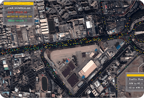 Satellite Image Video
The SP, GF03C and MF satellites of JL1 constellection can gaze at a single target point for 120 seconds at most to record the instantaneous changes of ground objects.
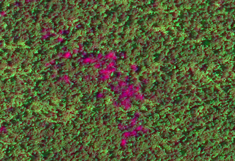 Satellite Remote Sensing In Forestry
Forestry remote sensing is a technology that uses the inherent characteristics of electromagnetic waves reflected or radiated by objects to identify objects and their environments by studying the char...
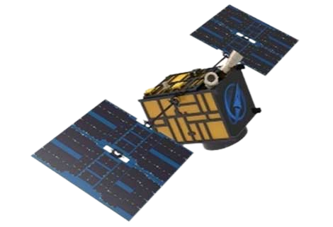 Cubesat Platform
The satellite platform can provide carrying services for the user's payload
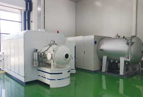 Satellite Testing
A key satellite test procedure in qualifying a satellite for launch.
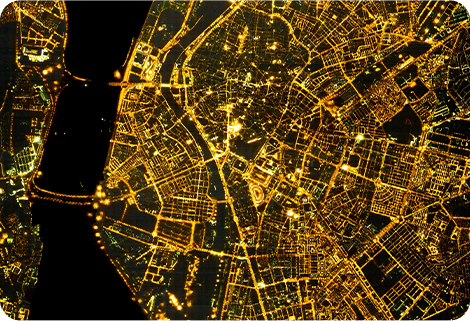 Night Time Data
The SP and GF03C satellites of JL1 constellection can conduct fast shooting with high-resolutions and multispectrums at night, which can reflect human activities through luminous data at night.
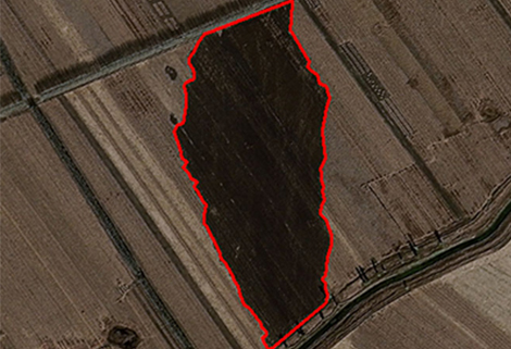 Satellite Remote Sensing In Environment
Environmental remote sensing is a general term for monitoring, evaluating and forecasting the dynamic changes of the natural and social environment by using various remote sensing technologies. Enviro...
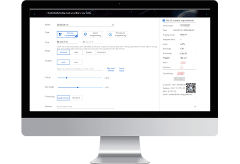 Satellite Ground Systems
The mission of the satellite ground system is to track, measure and control the earth resources satellite, implement functional management, and receive, record and process the image data sent back by ...
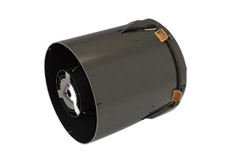 Satellite Cameras
Specialized devices that take high-quality images from space.
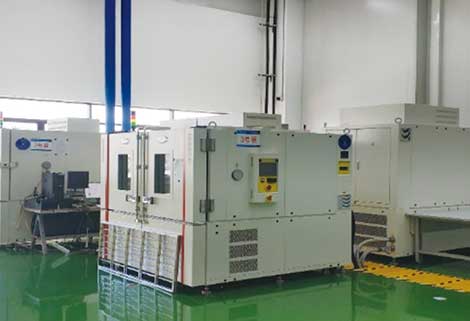 Customized Satellite Testing Service
We can provide customized remote-sensing information services to meet your specific needs.
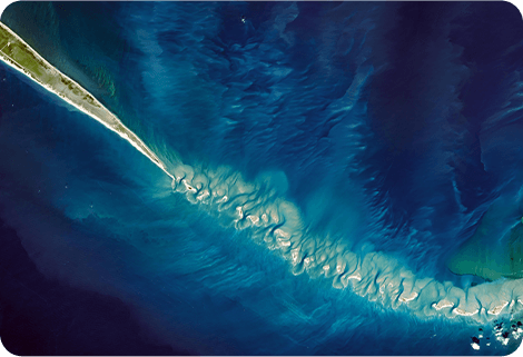 Multispectral Image Data
The GP satellites of JL1 constellection have 26 spectral channels, covering optical remote sensing data from visible light to long wave infrared.
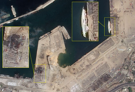 Satellite Remote Sensing In Change Monitoring
Change monitoring remote sensing uses multi-temporal remote sensing data, a variety of image processing and pattern recognition methods to extract change information, quantitatively analyze and deter...