Tel:
+86-0431-81785188
English
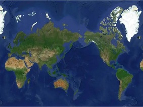 High-Resolution Remote Sensing Map Captured by Jilin-1 Satellite: International Leading Level
Recently, the high-definition remote sensing map taken by "Jilin-1" satellite, known as "One Map of the Globe", was released in Changchun, Jilin. This map can provide global high-d...
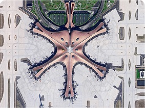 The Process of Satellite Image Processing Techniques
Remote sensing satellites capture digital images of the Earth from high altitudes and transmit them back to the ground. This is not the end of the work but rather the beginning of the remote sensing d...
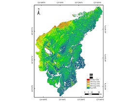 Satellite Remote Sensing in Agriculture
With the continuous advancement of satellite remote sensing technology, it has played an important role in various fields. In the agricultural sector, satellite remote sensing technology can provide v...
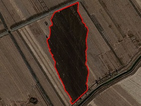 Applications of Remote Sensing in Environment
What is Remote Sensing in EnvironmentRemote sensing in environment is a general term for using various remote sensing technologies to monitor, evaluate, and forecast dynamic changes in natural and soc...
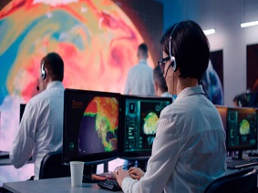 Artificial Intelligence in Satellite-Based Remote Sensing Application
Application of Artificial Intelligence in Satellite Remote SensingArtificial Intelligence in Satellite-Based Remote Sensing: Resource InvestigationIn the field of resource investigation, AI-based sate...
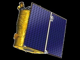 Chinese Version of "Starlink": "Jilin-1" Constellation
"Jilin-1" ConstellationThe "Jilin-1" satellite constellation is an important optical remote sensing satellite constellation in China. It is constructed and operated by Chang Guang ...
 "Jilin-1": The Start of the Commercial Satellite Era
“Jilin-1” Satellite IntroductionChang Guang Satellite Technology Co., Ltd. was established on December 1, 2014, as China's first commercial remote sensing satellite company. On October 7, 2015, ...
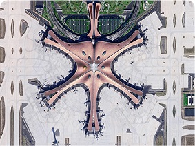 Remote Sensing in Environment: Monitoring and Protecting Earth’s Environment
Remote sensing in environment is a scientific method that uses remote sensing technology to monitor and assess the Earth's environment. It studies changes in natural environments such as the atmos...
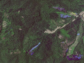 Satellite Remote Sensing Image: Data Processing Causes and Common Techniques
Satellite remote sensing technology is a comprehensive technical system for observing the Earth and celestial bodies from platforms on the ground to space. Satellite-based remote sensing can acquire s...
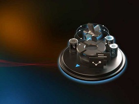 Satellite Ground Systems: "Nerve Center" of Earth Observation Satellites
During the process of using remote sensing technology and equipment to observe surface cover and natural phenomena by remote sensing satellites, the positions on Earth where the satellite observes, th...
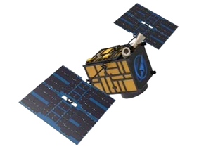 CubeSats (Cube Satellites): Mainstream of Microsatellite Development
In the 60 years since the Soviet Union launched the first artificial Earth satellite, the global space industry has achieved remarkable accomplishments in the fields of launch vehicles, artificial Ear...
 CubeSat Components: What Are They
CubeSat is a standardized platform for small satellites, initially proposed jointly by Stanford University and California Polytechnic State University in the United States. The aim was to provide a lo...
 Components of Complete Satellite Ground Systems
The satellite ground system is a crucial component of satellite missions, responsible for communication with the satellite, data reception and processing, mission control, and status monitoring. A com...
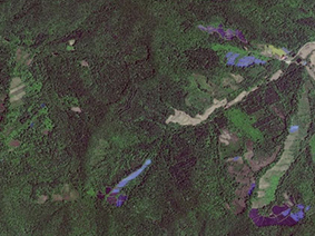 Application of Satellite Remote Sensing Technology in Earth Surveying
Earth is our home, which we rely on for survival. It contains abundant mineral resources such as oil, coal, natural gas, iron, copper, gold, nickel, and others that humans need. At the same time, due ...
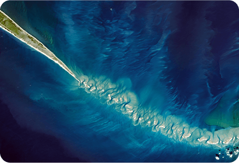 Hyperspectral and Multispectral: How to Choose
Hyperspectral and Multispectral: Choosing the Right TechnologySpectral imaging has become a treasure trove in many fields, from agriculture to environmental management. Hyperspectral and multispectral...